


5 km | 7,2 km-effort

Tous les sentiers balisés d’Europe GUIDE+


Aplicación GPS de excursión GRATIS
 SityTrail
IGN / Institutos geográficos
SityTrail World
El mundo es suyo
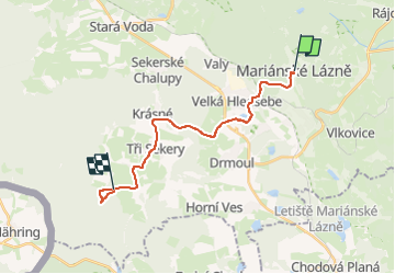
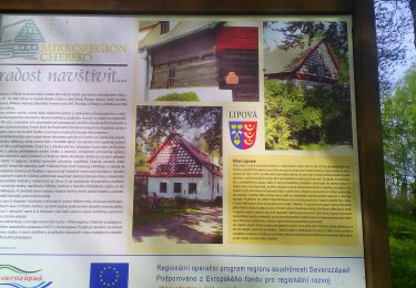
Ruta A pie de 16,6 km a descubrir en Severozápad, Karlovarský kraj, Mariánské Lázně. Esta ruta ha sido propuesta por SityTrail - itinéraires balisés pédestres.
Ruta creada por cz:KČT.


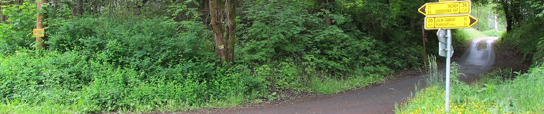
A pie
A pie
A pie

A pie
A pie
A pie

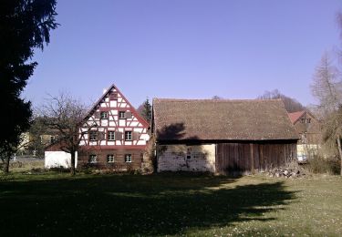
Senderismo
Senderismo
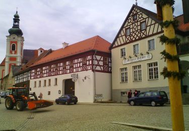
A pie